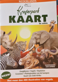
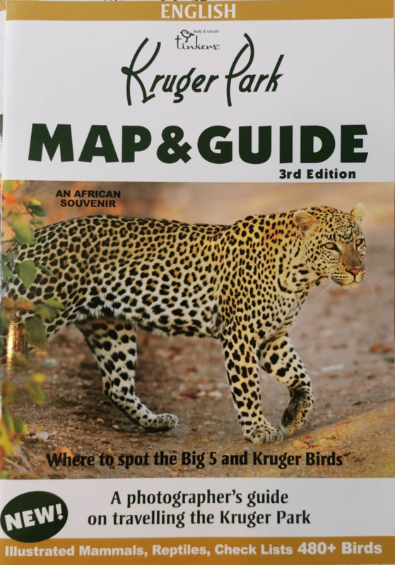
Kruger Park Map


Kruger Park Map
The Kruger National Park is bigger than Belgium and it’s surrounded by Mozambique and Zimbabwe. The protected area was established to protect wildlife but only became a national park in 1926. It was the first official national park in South Africa.This pocket foldable map of Kruger Park is a detailed map in a A2 format and it can be folded to a DL format.
The Kruger Park Map is illustrated with topography, color relief and beautiful photos. It also contains information about reservations, activities, excursions, etc. The location of camps, rivers, dams, lookout points and picnic places are also clearly displayed.
Kruger Park folding Map
With this handy pocket map visitors to the Kruger National Park can easily find their way in the area. Don’t forget to check also our Kruger Park Guide and the extensive informative Kruger Guide.
Published by: Andy Tinkers
Folding map Kruger Park
Language: English


